
Distance:
8 KM - 12 KM

Elevation Gain:
450 M D+ - 650 M D+

Partenza:
April 25, 2027, 10:40 AM

Start Location:
Badia di Moscheta, Firenzuola (FI)

Last arrivals:
2:00 PM
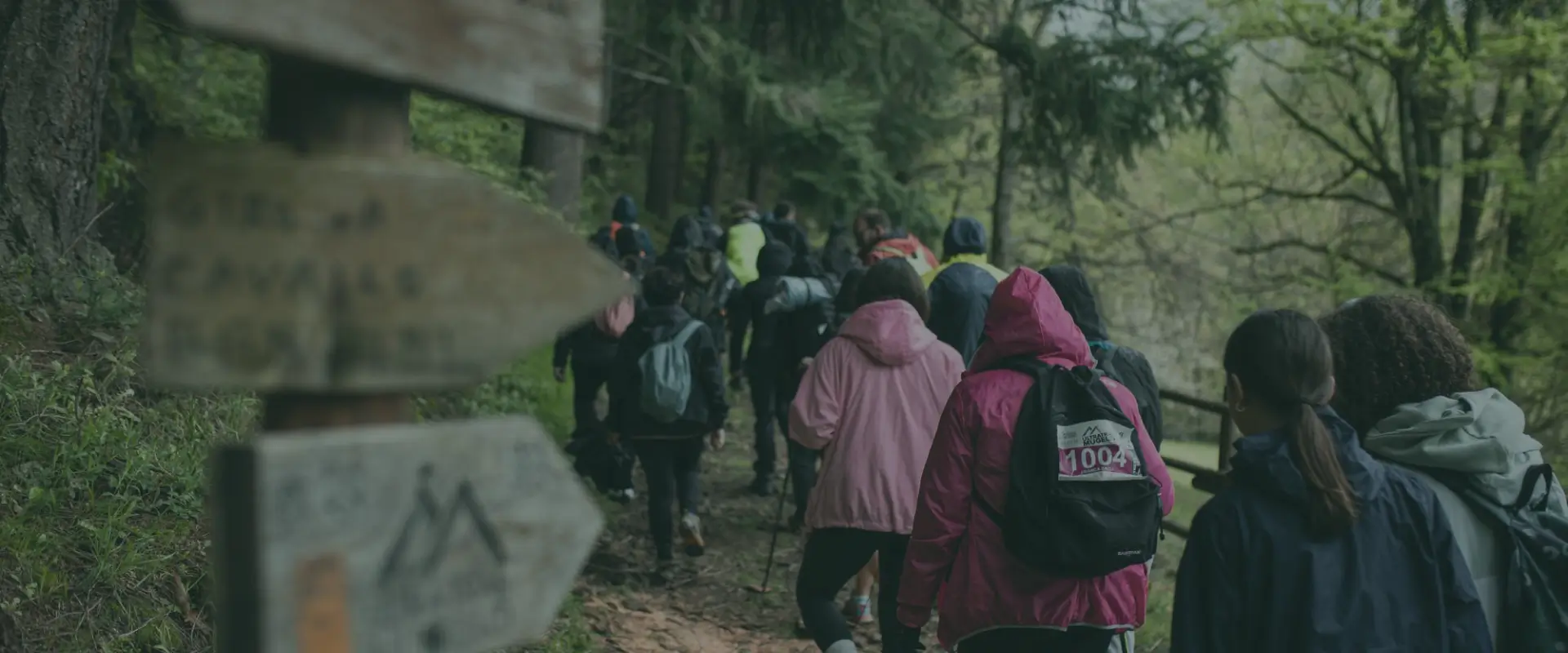
The Walk and the bioDiversity Trekking aim to celebrate both the variety of natural ecosystems and the value of inclusion and differences among people.
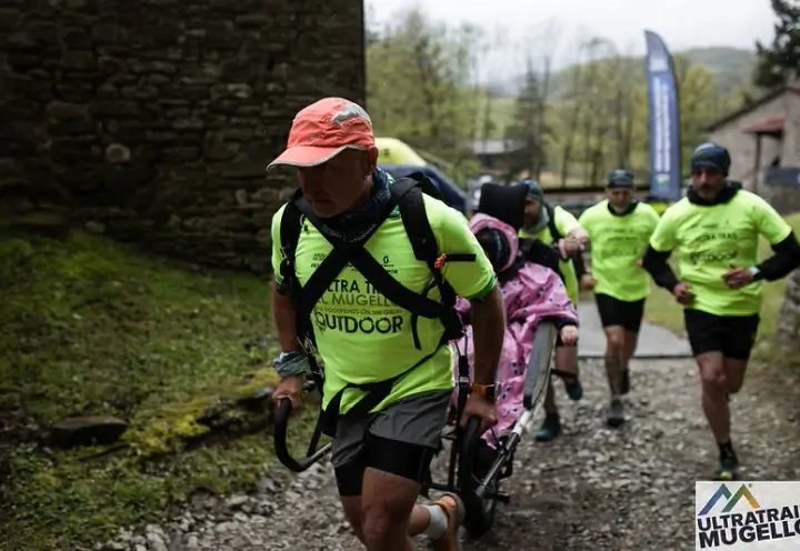
In particular, the Walk is also designed for those with disabilities, promoting sharing and mutual support in contact with nature.
Registrations for the event will be made directly on site on the day of the event.
The appointment is for Sunday, April 25, 2027 at the Badia di Moscheta. Registrations and bib distribution will open at 8:30 AM in the Reception Hall and will close at 10:15 AM.
At 10:35 AM there will be a briefing at the starting point, where, a few minutes later, at 10:40 AM, the official start will take place.
The bioDiversity Trekking is a unique experience that combines physical activity and environmental education. Two routes of different difficulty allow everyone to participate.
Guided by expert naturalists, you will discover the richness of the flora and fauna of the Giogo-Casaglia forest complex, a protected area of extraordinary natural beauty.
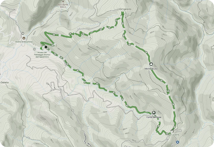
The route initially follows the same track as the two races, then at the second kilometer it branches off and continues in the valley floor, along the right bank of the Vacchile stream. The sound of water accompanies you up to the third kilometer, at the Fonte dell'Isola, a shady area where the source of the Fosso di Moscheta springs (uncontrolled water).
From here, take the forest road that climbs towards the Serra Refuge, where there is a refreshment point. Continue uphill towards Monte Acuto, first along the forest road and then along the steep, stony ridge.
From the top of Monte Acuto, continue along the ridge to the village of Giogarello, where you take the dirt road on the left that descends directly to Badia di Moscheta. The route is approximately 8 km long with 450 m of elevation gain.
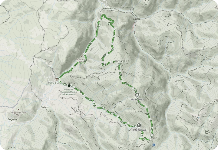
The route follows the Vacchile stream for about 2 km, then climbs towards the Poggiaccio chestnut grove and the ancient village of Giogarello, continuing on the panoramic ridge of Monte Acuto with splendid views of the Vacchile and Rovigo valleys, habitat of the Golden Eagle.
From here, take the forest road that climbs towards the Serra Refuge, where there is a refreshment point. Continue uphill towards Monte Acuto, first along the forest road and then up the steep, stony ridge.
From the summit of Monte Acuto, continue along the ridge to the village of Giogarello, where you take the dirt road that descends directly to Badia di Moscheta. The route is approximately 12 km long with 650 m of elevation gain.


By subscribing you agree to our Privacy Policy and consent to receive updates from our company.


